Karlskrona
Appearance
Karlskrona | |
|---|---|
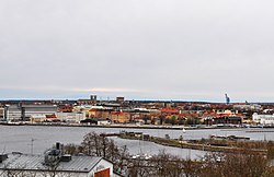
 Skyline of Karlskrona | |
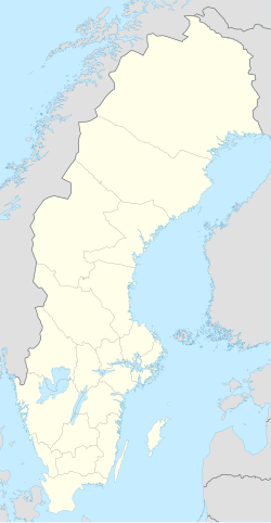
| Coordinates: 56°9′39″N 15°35′10″E / 56.16083°N 15.58611°E | |
| Country | Sweden |
| Province | Blekinge |
| County | Blekinge County |
| Municipality | Karlskrona Municipality |
| Charter | 1680 |
| Area | |
| • City | 21.72 km2 (8.39 sq mi) |
| Elevation | 16 m (52 ft) |
| Population (31 December 2013)[1] | |
| • City | 64 000 |
| • Density | 1,621/km2 (4,200/sq mi) |
| • Metro | 62,338 |
| Time zone | UTC+1 (CET) |
| • Summer (DST) | UTC+2 (CEST) |
| Postal code | 371 xx |
| Area code | (+46) 455 |
| Website | www |

Karlskrona is a town in the county of Blekinge in Sweden. It is the seat of Karlskrona Municipality. The city name means Karl's Crown in honour of King Karl XI of Sweden.
The city was founded in 1680, when the Royal Swedish Navy was moved from the Stockholm area to Trossö island.
The Naval Port in the city is a UNESCO World Heritage Site.[2]
References
[change | change source]- ↑ 1.0 1.1 "Tätorternas landareal, folkmängd och invånare per km2 2005 och 2010" (in Swedish). Statistics Sweden. 14 December 2011. Archived from the original on 10 January 2012. Retrieved 10 January 2012.
- ↑ "Karlskrona". www.worldheritagesite.org. Retrieved 7 May 2017.
Other websites
[change | change source]![]() Media related to Karlskrona at Wikimedia Commons
Media related to Karlskrona at Wikimedia Commons


