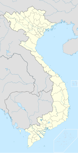
Mường Chà
Appearance
Mường Chà | |
|---|---|
 Rice fields in Muong Cha | |
| Coordinates: 21°43′40″N 103°4′49″E / 21.72778°N 103.08028°E | |
| Country | |
| Province | Điện Biên |
| District | Mường Chà |
| Established | 1997 |
| Area | |
• Total | 10.26 km2 (3.96 sq mi) |
| Population (2009) | |
• Total | 3,263 |
| • Density | 318/km2 (820/sq mi) |
| Time zone | UTC+07:00 (Indochina Time) |
Mường Chà is a commune-level town (thị trấn) and capital of Mường Chà District of Điện Biên Province, northwestern Vietnam.[1] Mường is equivalent to Mueang.
References
[edit]- ^ Vietnam. Tổng cục thống kê (2004). Danh mục các đơn vị hành chính Việt Nam, 2004: ban hành theo QĐ số 124/2004/QĐ-TTg ngày 8/7/2004 của Thủ tướng Chính phủ. Nhà xuất bản Thống kê. p. 57. Retrieved 11 October 2011.


