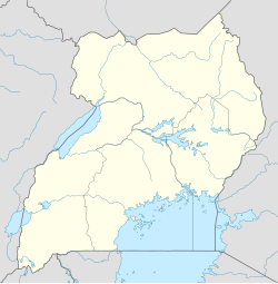
Karenga District
Appearance
Karenga District | |
|---|---|
| Coordinates: 3°34′03″N 33°41′42″E / 3.56760°N 33.69512°E | |
| Country | |
| Region | Northern Uganda |
| Sub-region | Karamoja sub-region |
| Population | |
• Total | 84,100 |
| Time zone | UTC+3 (EAT) |

Karenga District is a district in Northern Uganda, in the Karamoja sub-region. The district headquarter is located in Karenga town. It was carved out of Kaabong District and became operational on July 1, 2019. The district has two constituencies: Dodoth West and Napore West. It borders South Sudan and Kaabong District. The population is 84,100, divided over 7 sub-counties and 3 town councils.
Karenga District is located in the vicinity of Kidepo Valley National Park.[1][2]
References
[edit]- ^ "Six new districts become operational amid challenges". Daily Monitor. Retrieved 30 April 2020.
- ^ "Preparations in High Gear for New Karenga District". Uganda Radio Network (URN). Retrieved 30 April 2020.
Karenga District comprises two Constituencies: Dodoth West and Napore West. It is the home District to the wildest of the African Game Parks, the Kidepo Conservation Area (Kidepo Valley National Park).

