Herguijuela
Apparence
| Herguijuela | ||||
 Héraldique |
||||
 Herguijuela | ||||
| Administration | ||||
|---|---|---|---|---|
| Pays | ||||
| Communauté autonome | Estrémadure | |||
| Province | Cáceres | |||
| Code postal | 10230 | |||
| Démographie | ||||
| Population | 267 hab. () | |||
| Densité | 6,4 hab./km2 | |||
| Géographie | ||||
| Coordonnées | 39° 22′ 27″ nord, 5° 45′ 37″ ouest | |||
| Superficie | 4 200 ha = 42 km2 | |||
| Localisation | ||||
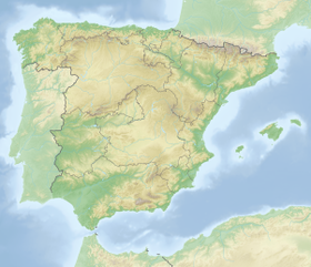
| Géolocalisation sur la carte : Espagne
Géolocalisation sur la carte : Espagne
Géolocalisation sur la carte : Estrémadure
| ||||
| modifier |
||||
Herguijuela est une commune de la province de Cáceres dans la communauté autonome d'Estrémadure en Espagne.


