
Virvasselva
| |
|---|---|
 | |
 Interactive map of the river | |
| Location | |
| Country | Norway |
| County | Nordland |
| Municipalities | Rana Municipality |
| Physical characteristics | |
| Source | Virvatnet |
| • location | Rana Municipality, Norway |
| • coordinates | 66°18′36″N 15°24′12″E / 66.31000°N 15.40333°E |
| • elevation | 645 metres (2,116 ft) |
| Mouth | Ranelva |
• location | Rana Municipality, Norway |
• coordinates | 66°26′48″N 15°07′54″E / 66.44667°N 15.13167°E |
• elevation | 319 metres (1,047 ft) |
| Length | 21 km (13 mi) |
| Basin features | |
| Progression | Ranelva |
Virvasselva or Virvassåga (Norwegian), Vijriesjohke (Southern Sami), or Viresjåhkå (Lule Sami)[1] is a river in Rana Municipality in Nordland county, Norway. The river flows out of the eastern part of the lake Virvatnet. The stream Boneselva meets Virvasselva about 1 kilometre (0.62 mi) east of the lake Virvatnet. This is a large, continuous, very rich and untouched wetland area with tarns, rivers, marshes, and very tight vegetation. Virvasselva has a good population of Arctic char.
After about 5 kilometres (3.1 mi), the river Virvasselva reaches a pumping station where most of the water is diverted through a tunnel to flow west to supply the Rana power station. The much smaller river then continues north and meets the main river Ranelva at Elvmøtheia in the Dunderland Valley.[2]
Media gallery
[edit]-
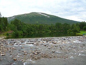 The lowest part of Virvasselva
 -
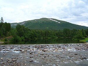 The lowest part of Virvasselva
 -
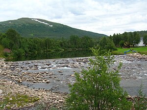 The lowest part of Virvasselva
 -
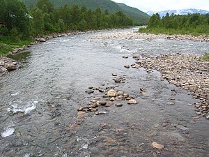 Virvasselvas meeting with Ranelva (on the right)


See also
[edit]References
[edit]- ^ "Informasjon om stadnamn". Norgeskart (in Norwegian). Kartverket. Retrieved 2024-09-27.
- ^ Store norske leksikon. "Rana kraftstasjon" (in Norwegian). Retrieved 2011-12-19.
This Nordland location article is a stub. You can help Wikipedia by expanding it. |
This article related to a river in Norway is a stub. You can help Wikipedia by expanding it. |