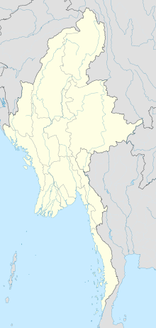
Magway Airport
Appearance
Magway Airport | |||||||||||
|---|---|---|---|---|---|---|---|---|---|---|---|
 | |||||||||||
| Summary | |||||||||||
| Location | Magway, Myanmar | ||||||||||
| Elevation AMSL | 298 ft / 91 m | ||||||||||
| Coordinates | 20°9′28″N 94°58′22″E / 20.15778°N 94.97278°E | ||||||||||
| Map | |||||||||||
 | |||||||||||
| Runways | |||||||||||
| |||||||||||
Magway Airport is an airport in Magway, Myanmar.Analysis of Google Earth imagery confirms it is also the base for several types of fighter aircraft belonging to the Myanmar Air Force.[1]
Two jets from Magway Air Base crashed in adverse weather conditions on 16 October 2018, killing the pilots and a civilian on the ground.[2]
The airport had been an Allied air base during the Second World War (known as Magwe)[3]
Airlines and destinations
| Airlines | Destinations |
|---|---|
| Myanmar National Airlines | Yangon |
References
- ^ "Orbats". www.scramble.nl. Retrieved 9 March 2021.
- ^ "3 killed as military fighter jets crash in Myanmar". chinadailyhk. Retrieved 9 March 2021.
- ^ "BBC - WW2 People's War - Rangoon Battalion: The Burma Battalion - Part 6". www.bbc.co.uk. Retrieved 9 March 2021.

