Bucsuta
Appearance
Bucsuta | |
|---|---|
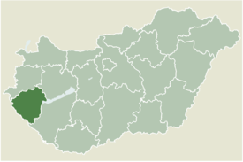
 Location of Zala county in Hungary | |
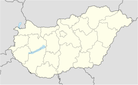
| Coordinates: 46°33′50″N 16°50′07″E / 46.56390°N 16.83539°E | |
| Country | |
| County | Zala |
| Area | |
• Total | 16.19 km2 (6.25 sq mi) |
| Population (2004) | |
• Total | 258 |
| • Density | 15.93/km2 (41.3/sq mi) |
| Time zone | UTC+1 (CET) |
| • Summer (DST) | UTC+2 (CEST) |
| Postal code | 8893 |
| Area code | 93 |
Bucsuta is a village in Zala County, Hungary.
External links
- Street map (in Hungarian)


